What this service supports
This service supports the practical integration of sensing, imaging, power, storage, mapping, communications and analytics systems into coherent field workflows. It focuses on how different technologies work together during real operations.
Why it matters for stakeholders
Field research systems are only effective when equipment, data, power, people and procedures operate as one connected system. Systems integration helps build a more reliable and scalable research platform for future NRGscapes LAB deployments.
What can be delivered to stakeholders
Deliverables may include integration plans, workflow maps, deployment test summaries, system performance notes, applied demonstration reports and partner case-study material.
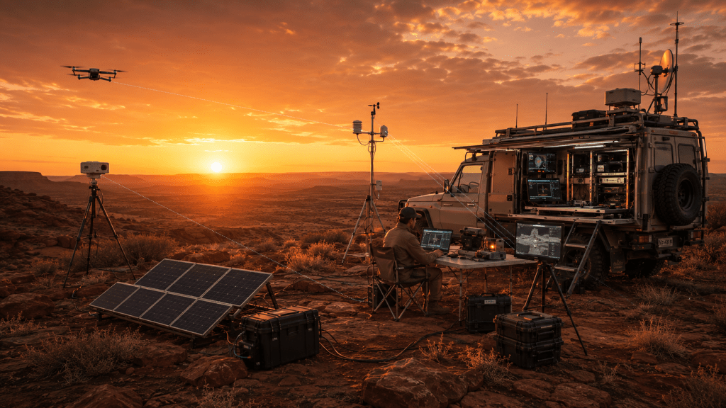
The integration problem
Field research systems often fail when equipment is treated separately. Cameras, sensors, power, storage, field notes, mapping tools and data workflows need to operate together.
NRGscapes LAB focuses on how these components can function as one practical system.
Integrated platform model
An integrated field platform may include imaging, environmental monitoring, geospatial records, metadata capture, data storage, analysis workstations and communications.
The aim is to make field operations more reliable, repeatable and useful for later analysis.
Demonstration value
Applied demonstrations show how systems perform in real operating conditions.
This can help partners understand field usability, technical limitations, deployment requirements and future development opportunities.
Outputs
Typical outputs may include an integration plan, workflow map, deployment test report, system performance notes and applied demonstration summary.
